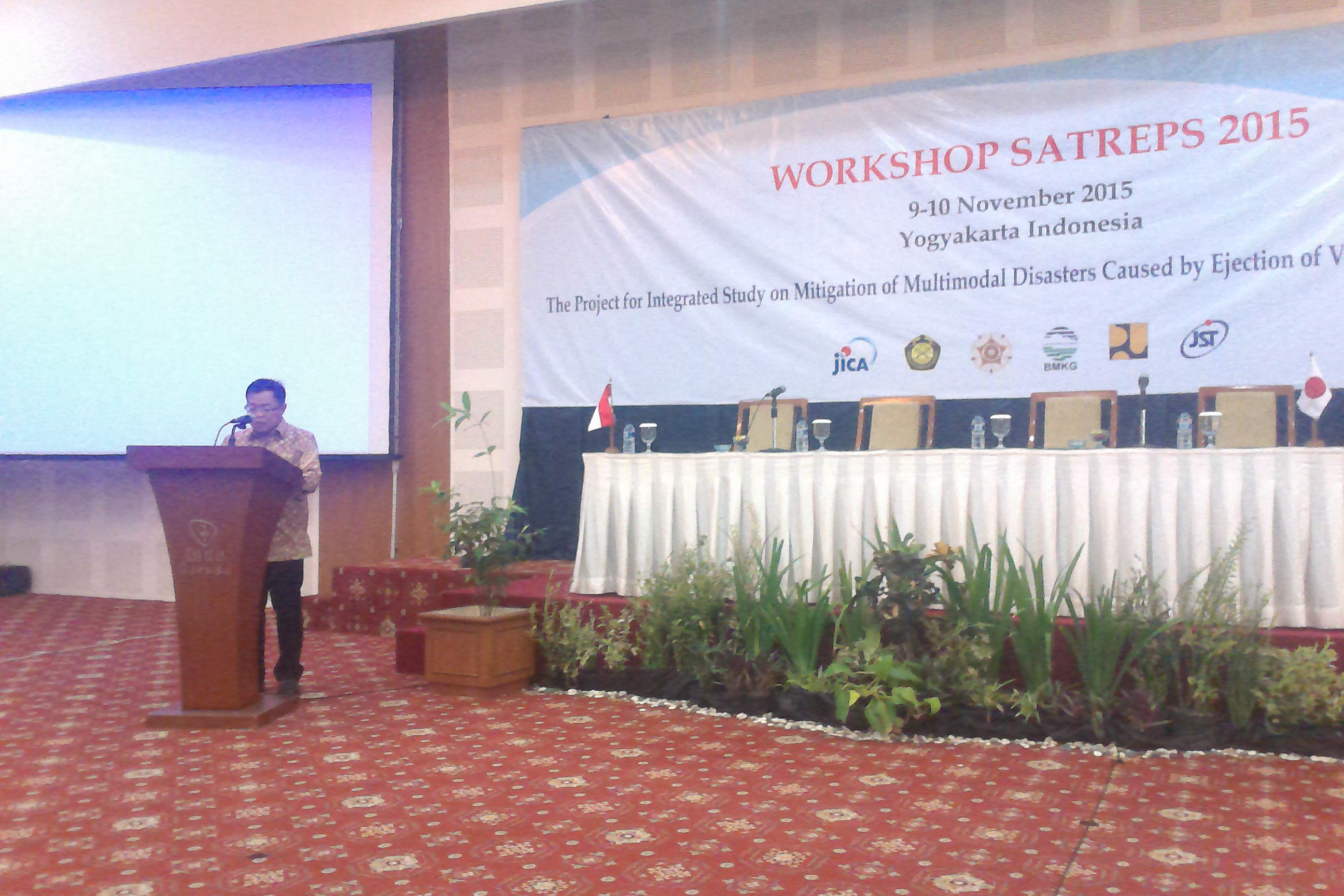
2015年11月9日・10日にてインドネシア・ジョグジャカルタにてプロジェクトWorkshopを開催しました.詳細は下記.
Workshop “Integrated Study on Mitigation of Multimodal Disasters Caused by Ejection of Volcanic Products” SATREPS (Science and Technology Research Partnership for Sustainable Development)
Date: 9:00 a.m. until finish, 9 – 10 November 2015
Venue: Inna Garuda Hotel, Yogyakarta
9 November 2015
9:00-9:10 “Opening” by Sofie Yusmira
9:10-9:20 “Greetings – Head of Center for Volcanology and Geological Hazard Mitigation” by Edy Prasodjo
9:20-9:30 “Greeting – JICA Indonesia Office” by Shigeki Ishigaki
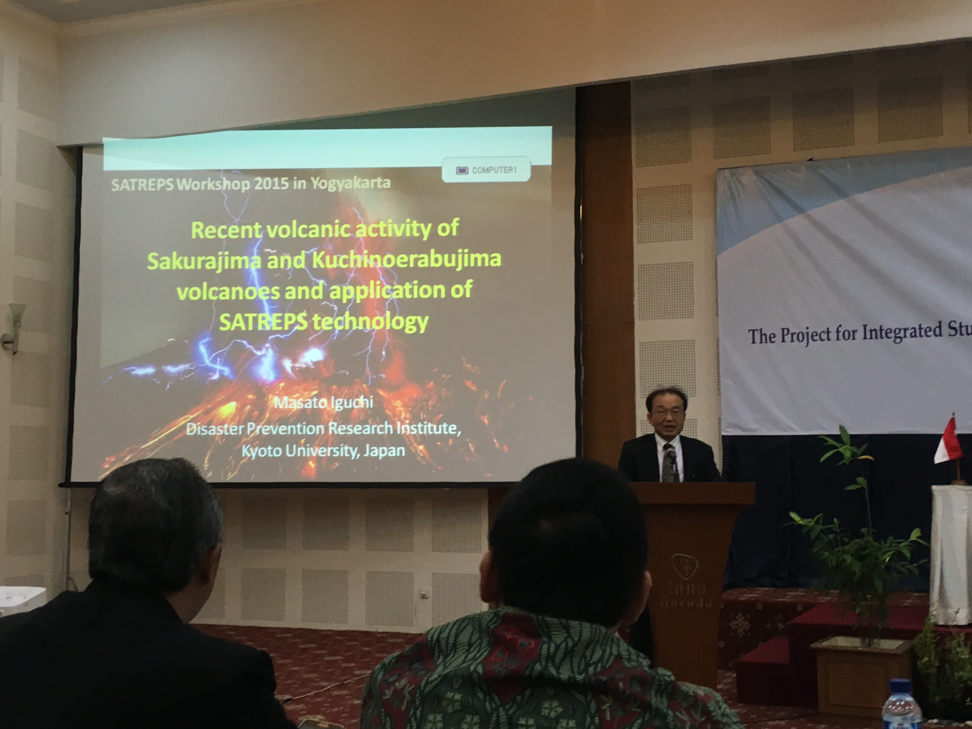
9:30-10:30 “Keynote Speech: Recent volcanic activity of Sakurajima and Kuchinoerabujima volcanoes and application of SATREPS technology” by Masato Iguchi
10:30-10:40 Coffee break
Group 1
10:40-12:10 Moderators: Haruhisa Nakamichi and Hendra Gunawan
Sub Group 1-1
10:40-10:55 “Construction of seismic and ground deformation observation networks of the target volcanoes” by Haruhisa Nakamichi
10:55-11:10 “Recent monitoring data in Guntur volcano regional center” by Ahmad Basuki
Sub Group 1-2
11:10-11:25 “Hydrological monitoring in the southeastern and southern flank of Mt. Merapi” by Yutaka Gonda
11:25-11:40 “Determination of emergency status for lahar in Mount Merapi area” by Dwi Kristianto
Sub Group 1-3
11:40-11:55 “Launching radar systems in Merapi and Kelud area” by Satoru Oishi
11:55-12:10 “A quick look on X-band radar utilization for rainfall monitoring in the area of Merapi volcano” by Akhyar Mushthofa
12:10-13:10 Lunch
Group 3
13:10-13:55 Moderators: Kuniaki Miyamoto and I Gusti Made Agung Nandaka
Sub Group 3-1
13:10-13:25 “Development of integrated GIS-MSD (Multimodal Sediment Disaster) simulator” by Makoto Shimomura
13:25-13:40 “The most adaptive landslide monitoring and early warning system” by T. Faisal Fathani
Sub Group 3-2
13:40-13:55 “An overview SIMLAR GIS based lahar simulation” by Akhyar Mushthofa
10 November 2015
Group 2
9:00-10:15 Moderator: Setsuya Nakada and Agus Budianto
Sub Group 2-1
9:00-9:15 “Recent two distinct eruptions in Indonesia: Kelud 2014 and Sinabung 2013-15” by Setsuya Nakada
9:15-9:30 “Lesson learned from some volcanoes eruptions in Java: Inferred from monitoring data” by Agus Budianto
Sub Group 2-2
9:30-9:45 “Ground deformation detected by GNSS observation at Sinabung and Merapi volcanoes” by Takahiro Ohkura
9:45-10:00 “Discharge rate of volcanic eruptions as inferred from observed ground deformation and conduit flow models” by Takeshi Nishimura
10:00-10:15 “Examination of static stress change due to tectonic earthquake – Triggering of 2013 eruptions of Sinabung volcano” by Estu Kriswati
10:15-10:30 “Recent Merapi volcanic activity and lahar monitoring system” by I Gusti Made Agung Nandaka
10:30-10:40 Coffee Break
Group 4
10:40-11:25 Moderator: Satoshi Oishi
Sub Gruup 4-1
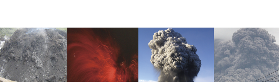
10:40-10:55 “Numerical simulation of volcanic ash plume dispersal from Kelud volcano in Indonesia on 13 February 2014” by Hiroshi Tanaka
Sub Group 4-2
10:55-11:10 “Mechanism of volcanic tephra falling detected by X-band multi-parameter radar” by Satoru Oishi
11:10-13:00 Lunch
Group 5
13:00-14:45 Moderator: Masaharu Fujita and Djoko Legono
13:00-13:15 “Merapi consortium: Partnership-based disaster risk mitigation” by Djoko Legono
13:15-13:30 “Modeling of information flow for early warning in Merapi area” by Leslie Jamie Cobar
13:30-13:45 “Sediment disaster information provided by MSD simulator – Pyroclastic flow in Semeru volcano-” by Kuniaki Miyamoto
13:45-14:00 “Warning information by a critical line method” by Masaharu Fujita
14:00-15:30 Discussion Moderator: Djoko Legono
15:30-15:45: Closing remark by Edy Prasodjo